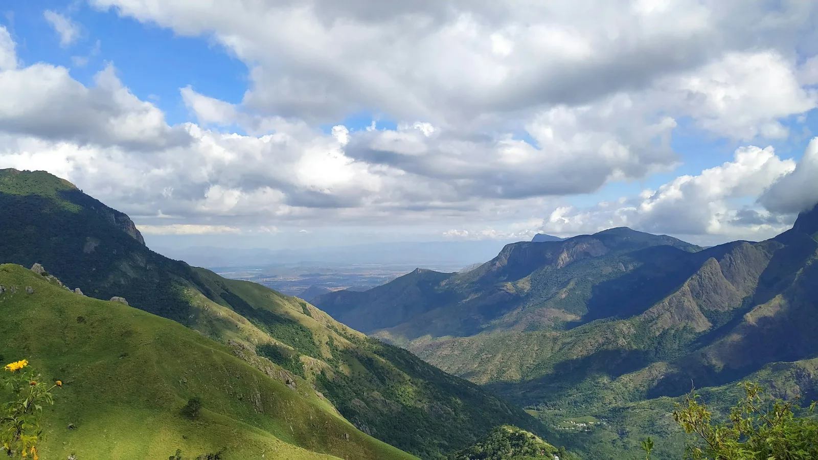
Green ranges falling away into a deep valley under a sky of white cloud, near Top Station

The High Range,
unhurried

A guide to the hills around us: where the rivers meet and what to pack, the four roads out of Munnar, and five days to spend on them.

Where three rivers meet

Munnar is a hill station in the Western Ghats, in the Idukki district of Kerala. The name comes from the meeting of three rivers here: the Madhurappuzha, the Nallathanni and the Kundala.

The land climbs from 1,450 metres to 2,695 metres at the summit of Anamudi, the highest peak in South India. That height keeps the air cool all year, and on the coldest winter nights it can bring frost: Sevenmallay has recorded four degrees below zero.

Altitude
1,450 to 2,695 mFrom the valleys to the summit of Anamudi
Winter
5 to 25 °C
Summer
15 to 25 °C
Coldest recorded
−4 °CAt Sevenmallay
What to pack
Woollens and cottonsWoollens for the monsoon and winter months; cottons for summer
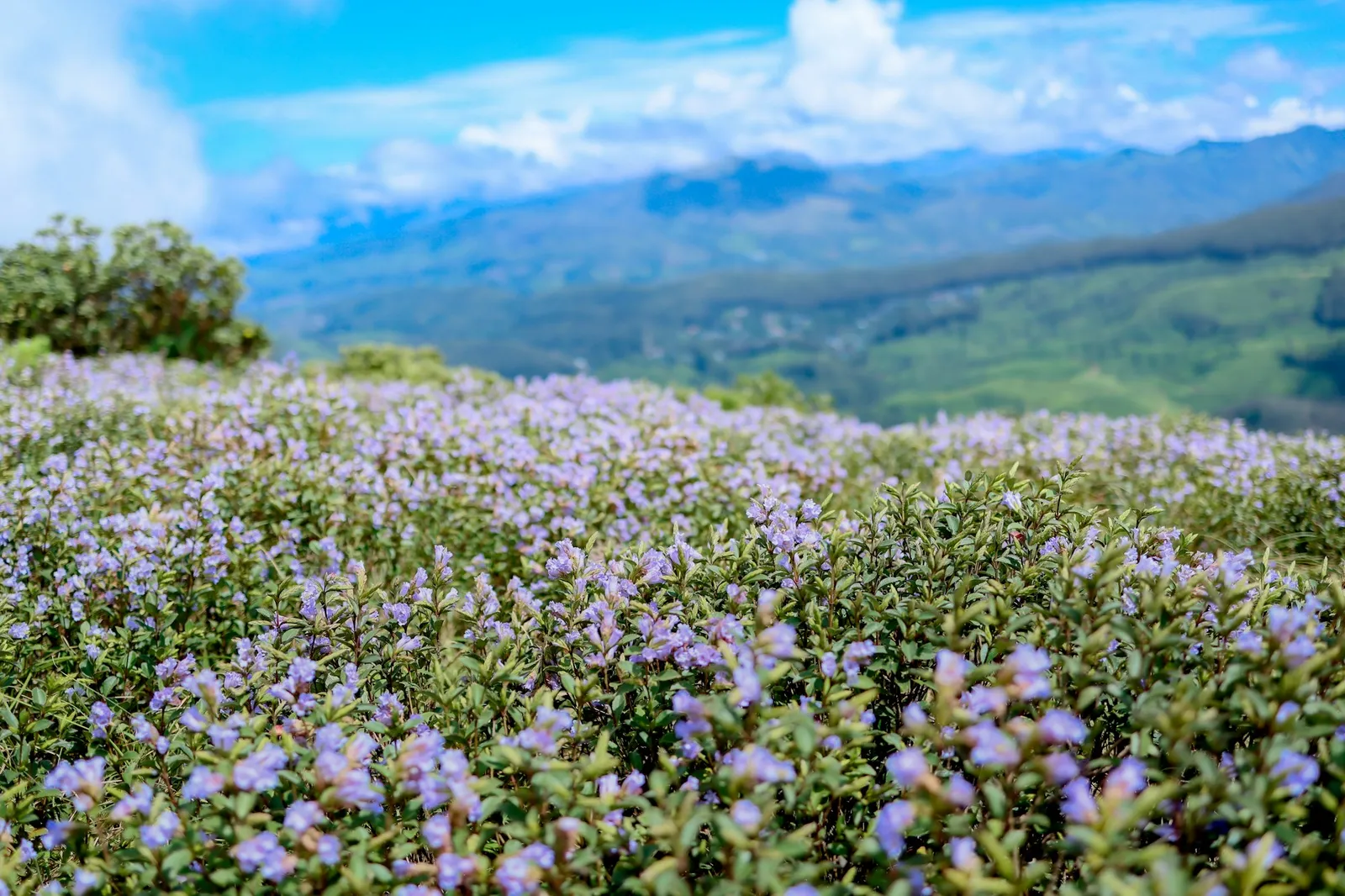
Neelakurinji
Every twelve yearsLast bloomed in 2018; around 2030 if the twelve-year cycle holds
Neelakurinji in bloom across a hillside, pale violet against blue ranges
Neelakurinji, once every twelve years

Forests under protection

Much of the High Range is protected. These are the parks and sanctuaries closest to Munnar.

  • Eravikulam National ParkHome of the Nilgiri tahr. Open from the second week of April to the end of January.
  • Anamudi Shola
  • Chinnar Wildlife Sanctuary
  • Kurinjimala Sanctuary
  • Pampadum Shola

Four roads out of Munnar

The places we send our guests, grouped by the road you take to reach them.

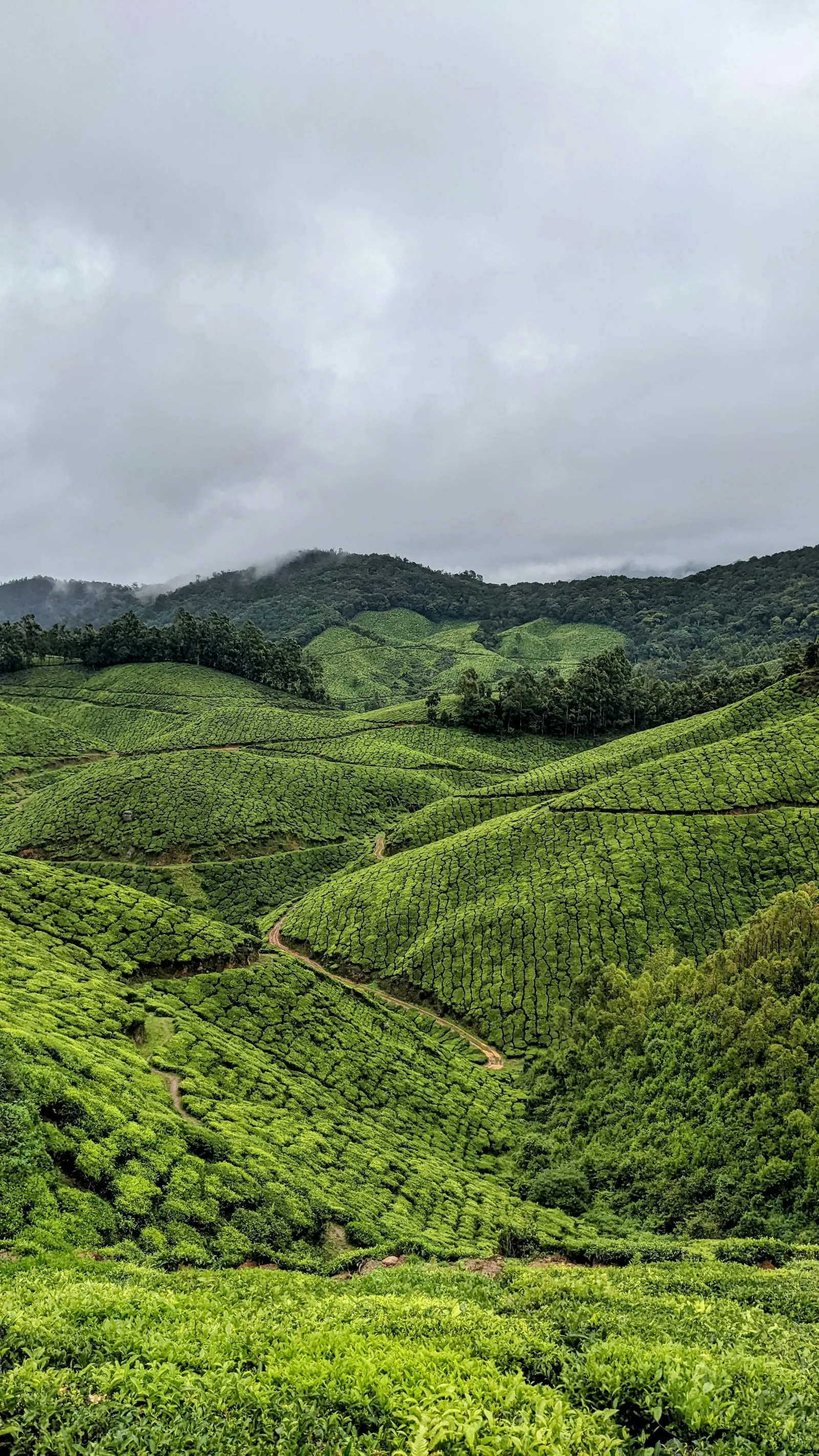
Tea terraces on the road to Top Station under low cloud
On the road to Top Station

Towards Top Station

The road to the Kerala–Tamil Nadu border, past lakes, dams and a string of viewpoints.

  1. Photo point
  2. Jungle honey-bee nest
  3. Mattupetty damBoating on the reservoir.
  4. Elephant arrival spot
  5. Echo Point
  6. Kundala damBuilt by the British.
  7. Top StationA viewpoint on the Kerala–Tamil Nadu border, looking down into the valleys.
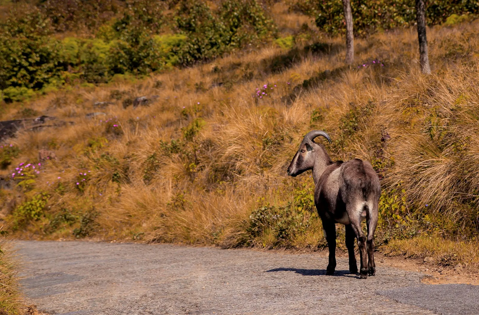
A Nilgiri tahr standing by a mountain road in Eravikulam National Park
Nilgiri tahr, Eravikulam

Towards Marayoor and Chinnar

The Coimbatore road: waterfalls, the tahr of Eravikulam, sandalwood, apple gardens and the sanctuary at Chinnar.

  1. Lakkam waterfalls
  2. Nyamakkad waterfalls
  3. Eravikulam National ParkHome of the Nilgiri tahr. Open from the second week of April to the end of January.
  4. MarayoorA sandalwood forest.
  5. KanthalloorApple gardens.
  6. Chinnar Wildlife Sanctuary
  7. MuniyaraDolmens.
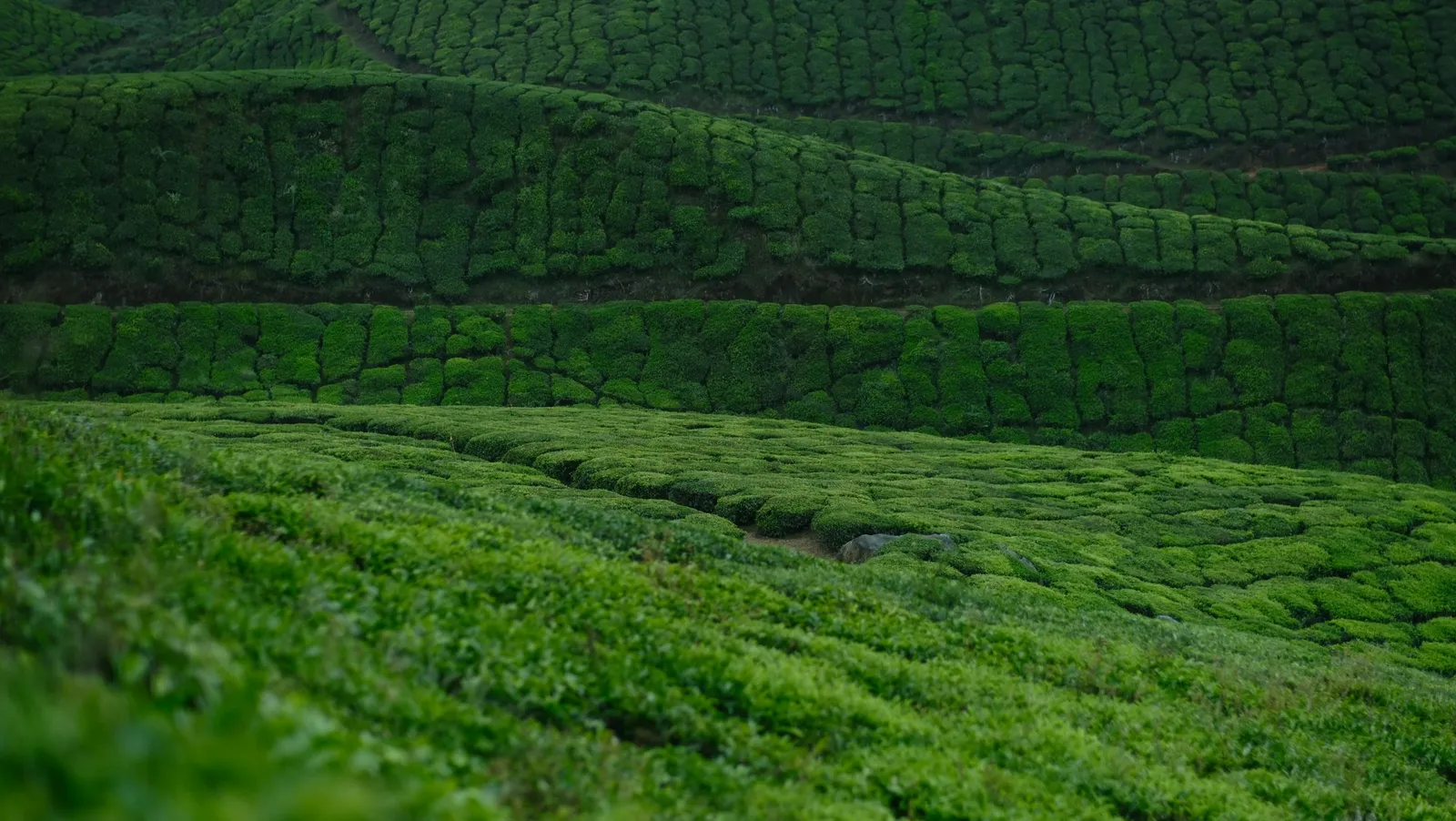
Clipped rows of tea rolling over a hillside
Tea, slope after slope

Towards Thekkady

Lakes, the Lockhart Gap and the highest tea factory in the world.

  1. Devikulam lake
  2. Lockhart Gap viewpoint
  3. KolukkumalaiHome to the world’s highest tea factory, and a sunset view over the ranges.
  4. Power House waterfalls
  5. Anayirankal dam

Towards Kochi

Worth keeping in mind on the way up from Kochi, or on the way back down.

  1. Pothamedu viewpoint
  2. Attukad waterfalls
  3. Kallar waterfalls

On foot, and off road

Three climbs we recommend, and gentler guided walks that start at our own gate.

  • Nagarmudi

    A slow climb through the hamlet of Nagarmudi, past tea, cardamom and coffee, to the ridge.

  • Chokramudi

    About 7,200 ft, with views out over the Idukki district.

  • Meesapulimala

    One of the High Range climbs not to miss.

Light trekking

Guided walks through the passes around Chithirapuram: easy trails and long views.

Jeep safari

Off-road drives towards Mankulam, Anakkulam, Viripara, Lakshmi estate and Top Station, looking for wild gaur, the lion-tailed macaque and the grizzled giant squirrel.

Five days in the High Range

Our suggested plan for a first visit. The travel desk can arrange a cab and a guide for each day, and change any of it to suit you.

  1. Day1

    Arrival

    • Check in and settle
    • Speedboat ride at Shenkulam dam
    • Sunset among the tea
    • A Kathakali or martial arts show
    • A massage to end the day
  2. Day2

    The Top Station road

    • Photo point and the honey-bee nest
    • Boating at Mattupetty
    • The elephant spot and Echo Point
    • Kundala dam
    • Spice and tea shopping
    • Rooftop pool, then dinner on the roof
  3. Day3

    Tahr and sandalwood

    • Eravikulam and the Nilgiri tahr
    • Lakkam waterfalls
    • Marayoor sandalwood forest
    • Chinnar Wildlife Sanctuary
    • A candle-light dinner
  4. Day4

    Lakes and the Gap

    • Devikulam lake
    • Lockhart Gap
    • Anayirankal dam
    • Sunset at Kolukkumalai
  5. Day5

    A last walk

    • A light trek
    • Kallimali viewpoint
    • The tea museum (closed on Mondays)
    • Spice shopping
    • Check-out

Getting here

Distances below are to Munnar town. From there, the resort is a short drive on to Chithirapuram.

  • By air

    105 km to Munnar

    From Cochin International Airport, about 105 km.

  • By rail

    101 km to Munnar

    From Aluva, the nearest railway station, about 101 km. Madurai and Coimbatore stations are about 158 to 165 km away.

  • By road

    117 km to Munnar

    From Kochi along NH49, about 117 km. The road is narrow and winding, with waterfalls on the way; Adimali is 20 km before Munnar.

7 km from Munnar town to the resort

The Munnar Queen is in Chithirapuram, about seven kilometres from town. Our travel desk can arrange a cab from the airport or the station.

Get directions

Come and see it for yourself

Stay on the hill and let our travel desk plan the days. Tell us your dates and who is coming; we reply by phone or WhatsApp with availability and a tariff.

WhatsApp

Request a reservation

We reply by phone or WhatsApp with availability and a tariff. Or call +91 90485 33333.

Photo credits

Photographs of the resort, its rooms and its guests are The Munnar Queen's own. Guest video stills are from the resort's YouTube channel.

Munnar, via Unsplash

Used under the Unsplash Licence.